Highlights
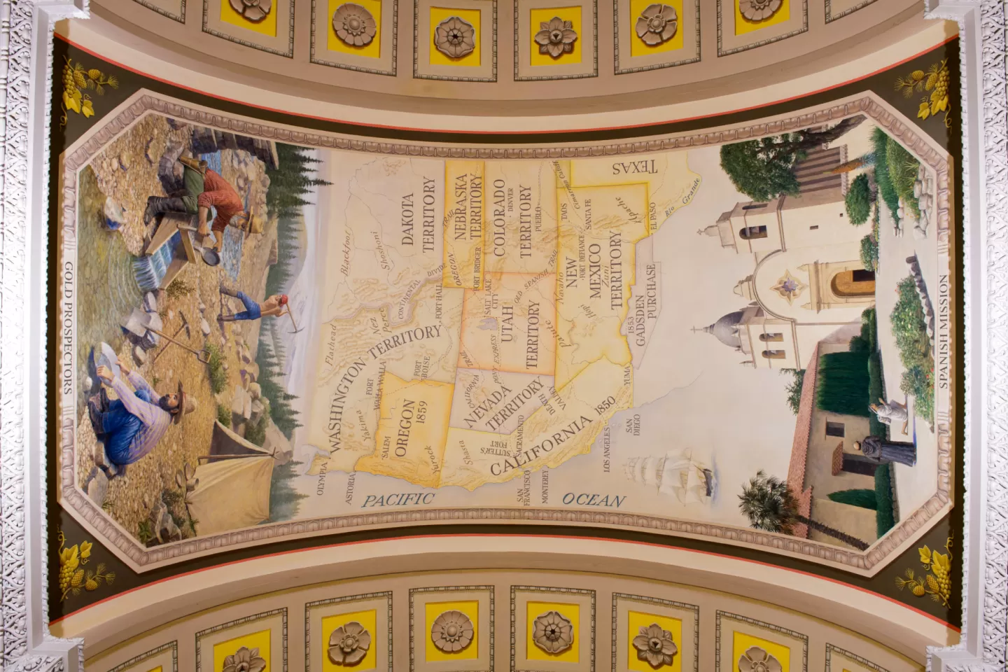
The map shows the states and territories stretching west from Texas to the Pacific Ocean and marks the Oregon, California, and Old Spanish Trails as well as the Pony Express route. Also shown are Sutter's Fort, where gold was discovered in California; the sites of Spanish missions and forts; and the names of Indian tribes. In the ocean is a clipper ship of the type that sailed around the tip of South America from California to the east coast of the United States.
About the Cox Corridors Murals
The first floor of the U.S. Capitol's House wing is elaborately decorated with wall and ceiling murals by artist Allyn Cox. The western north-south corridor, called the Westward Expansion corridor, includes maps and scenes showing the growth of the United States from early exploration through the acquisition of Alaska and Hawaii.
